Forest Mapping and Territory Delineation
Territory mapping, boundary delineation and Community Based Monitoring and Information System (CBMIS) is another component of our work.
Forest Mapping and Territory Delineation
Territory mapping, boundary delineation and Community Based Monitoring and Information System (CBMIS) is another component of our work.
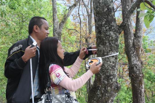
Territory mapping, boundary delineation and Community Based Monitoring and Information System (CBMIS) is another component of our work. These tasks are important for providing information about indigenous peoples’ forest, land, territories and resources. The extent of forests, its distribution, density, biodiversity, livelihood and culture, and many more social and cultural aspect related to indigenous peoples rights, can be documented through the mapping and inventory, which presents evidence-based document for advocating indigenous peoples’ rights over land, territories and resources. Mapping is also essential in estimation of carbon storage in a forest. We mapped indigenous peoples’ forest in Khasur Lamjung (337 hectors), Dura Danda Lamjung (1092 hectors), and Jamuna Ilam (979 hectors).